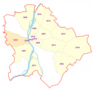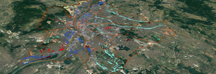
Urban geological research with regard to the interactions and processes of the geological media and the constructed environment, primarily in the area of Budapest.
In urban geological research, we are currently mapping and assessing the environmental state, the geological vulnerability and the building suitability of Budapest considering the potential hazards as well as the geological and hydrological values to be protected.
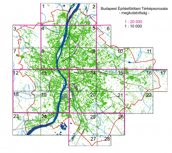
Since 2013 the archive maps and its geological data have been translated into an easy-to-use GIS format (in Hungarian EOV system) with the basic aim to create a geo-database for the metropolitan areas. The available geo-information (boreholes, wells, water chemistry, soil mechanics, mining, water production, land use, filling, surface movement) of Budapest is handled in a unified geospatial system, thus making it possible to easily accomplish the tasks related to the geological environment of the city. Appropriate natural scaled, thematic maps can be prepared with general legend and explanations for professionals, researchers, investors, decision makers, or residents. Their use help prevent or minimize the adverse effects of geological hazards (e.g. subsidence, stability) and urbanization issues (e.g. soil and groundwater damage, metropolitan land use problems).
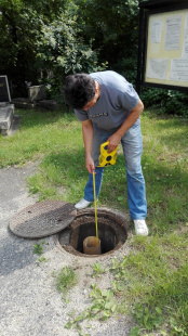
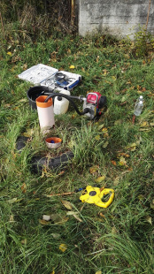
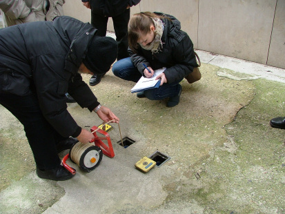
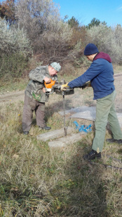
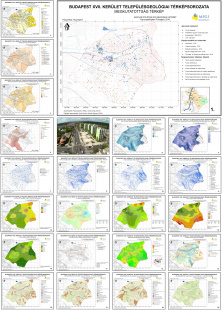
The database is updated with new field observations and sampling results. The thematic settlements of urban geological map series have been prepared since 2001 for district municipalities to support the preparation and the planning of local projects concerning the environmental state, decisions and infrastructural developments.
Map versions: The spread of surficial or different geological formations, The depth or the height of groundwater for different periods (average, maximum estimate), The chemistry and the aggressivity of groundwater, Environmental vulnerability, Construction suitability, Foundation suitability at different depths
Project leader: Csörghe-Andó Anita
E-mail: ando.anita@mbfsz.gov.hu
Phone: +36 1 920 2279

