The project combines application and development of near surface geophysical methods for geologic purposes.
The project contains design and implementation of near surface geophysical methods connected to geological survey as well as the processing and interpretation of the measured data. The main task of the activity is to help solving problems emerging during geological work like selecting the optimal site for sampling, correlation between boreholes or exclude locations not suitable for direct sampling. The existence of the project as an independent one is justified by the demand for the synergy of near surface geology and geophysics to eliminate the border between different disciplines.
The proposed activity for this year:
- Agricultural utilization of mining wastes
- Surveying non-metallic row materials
- Building engineering geological database of Budapest
- Mapping earthquake hazard
- Geological mapping and modelling
- Investigation of bluffs near Lake Balaton
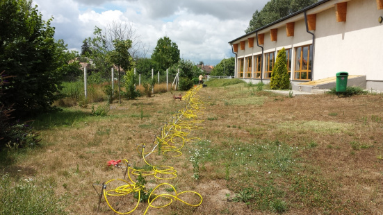
The realization of the project requires methodological developments that are generated directly by the expectations of the end users in GPR, seismic and DC geoelectric methods.
Near surface methodological development focuses on the following tasks:
- void detection
- seismic subsoil class categorization according Eurocode 8
- water depth and mud thickness measurements
- archeology mainly with GPR (georadar) and DC geoelectric methods
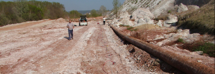
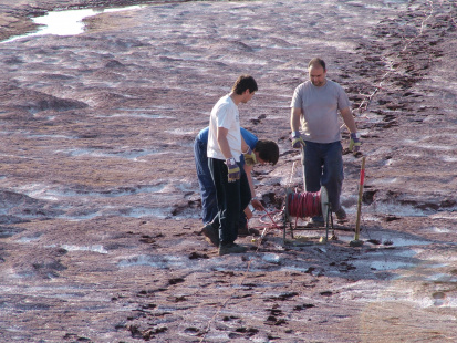
Geophysical survey can be supported by drilling and sampling activities as well as lab investigations.
Project leader: Dr. Zsolt Prónay
E-mail: pronay.zsolt@mbfsz.gov.hu
Phone: +36 1 920 2322