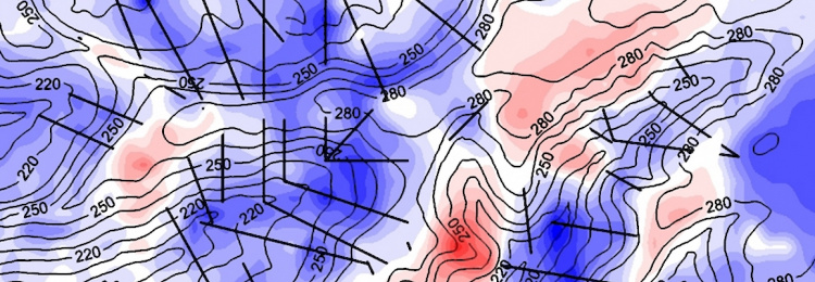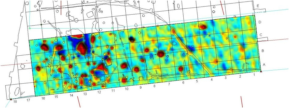
The geomagnetic survey is an efficient method for modelling of geological structures as well as for non-destructive detection of near-surface anomalies of human origin. The measurement of geomagnetic declination supports navigation and geographic mapping purposes.
The goals of the geomagnetic surveys are the mapping of crustal and near-surface magnetic anomalies and the modelling their geological or artificial origin. In most cases, the surveyed magnetic anomalies are with orders less than the ambient main geomagnetic field (1-100 nT vs. ca. 48 000 nT in Hungary). Therefore the prospecting should rely on precise measurement practice carried out with sensitive magnetometers of low noise.
Instrument:
– GSM19 GW Overhauser type of magnetometer (can be applied in single and gradiometer mode) - the resolution and accuracy of this instrument are 0,01 nT and ~0,2 nT, respectively (to avoid the external magnetic field contribution (effects of the ionosphere, magnetosphere currents) we reduce our magnetic readings with the records of a local base magnetometer or with the permanent magnetic observations of the Tihany Geophysical Observatory)
– to measure declination we use DI one-axial fluxgate magnetometer mounted on de-magnetized Zeiss 020A theodolite (resolution of about 0,1 min of arc)
Applicability:
– determination of geomagnetic declination for navigation and mapping purposes
– detection of near-surface anomalies of human origin
– research and modeling of geological structures
References:
– Geomagnetic survey for archeomagnetic purposes in Felsőörs and Veszprém, 2015 (Customer: Laczkó Dezső Museum, Veszprém)
– Determination of the declination angles for aircraft navigation in nine Hungarian locations, 2009 (Customer: Hungarocontrol Zrt.)
– Geomagnetic survey for archeomagnetic purposes in Tiszaroff, 2006 (Customer: Hungarian National Museum)
– Geomagnetic prospecting for mapping andesite veins near the Püspökszilágy radioactive waste storage site, 2003 (Customer: Mecsekérc Zrt.)
– Geomagnetic prospecting for the delineation of young sediments containing red clay layers in Üveghuta, 2003 (Customer: Mecsekérc Zrt.)
Contact:
Department of Research and Observatories
Péter KOVÁCS, Ph.D.
E-mail: kovacs.peter@mbfsz.gov.hu
Address: 1145 Budapest, Columbus u. 17-23.
Phone: +36 1 252 4999


