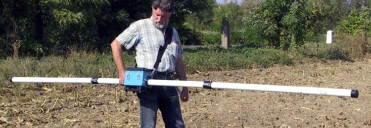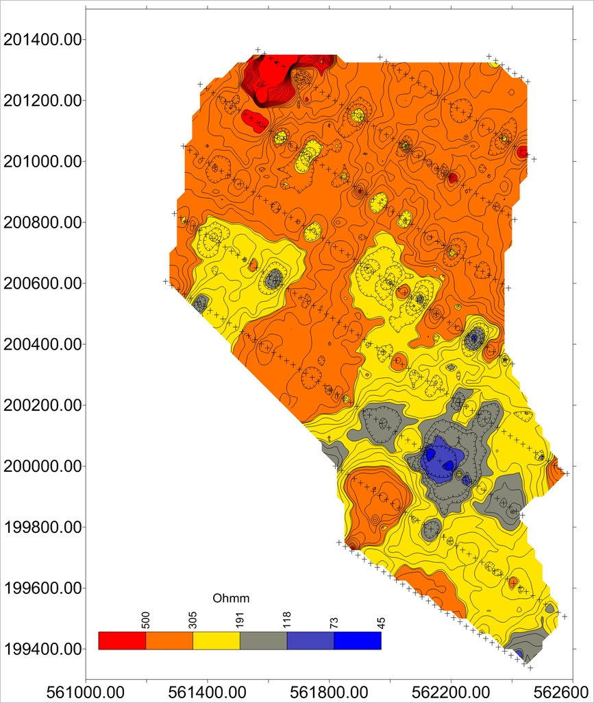
Determination of the electrical resistivity of the near-surface geological formations up to 5-meter depth.
Shallow depth (0-5 m) investigations: electromagnetic investigation (profiling and mapping) of near-surface structures.
Instrument: EM-31
Applicability:
– soil mapping
– raw material research
– geological mapping
– geotechnical investigations
– corrosion protection of gas and pipelines
References:
– MOL Nyrt.
Contact:
Department of Research and Observatories
László VÉRTESY
E-mail: vertesy.laszlo@mbfsz.gov.hu
Address: 1145 Budapest, Columbus u. 17-23.
Phone: +36 1 920-2290
Image

Apparent resistivity map

